Offshore multi-Objective automatic admission tracking instruction system
Introduction to the System
The maritime Multi-Objective automatic admission tracking instruction system realizes the fields of water ship surveillance, warning and traffic control by receiving static data (such as MMSI number, name, size, load, etc.) and dynamic data (such as the ship's latitude and longitude, speed, navigation accuracy and other information and navigation status, etc.) broadcast by the aquatic vessel in real time. It can also be realized by providing target indication for radar, correlation ratio analysis with radar detection target, etc.Lightning Standard School EquipmentThe functionality of the. The system is mainly composed of equipment host, AIS receiving antenna, GPS mushroom head antenna, high performance feeder, data recording system and so on.

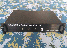
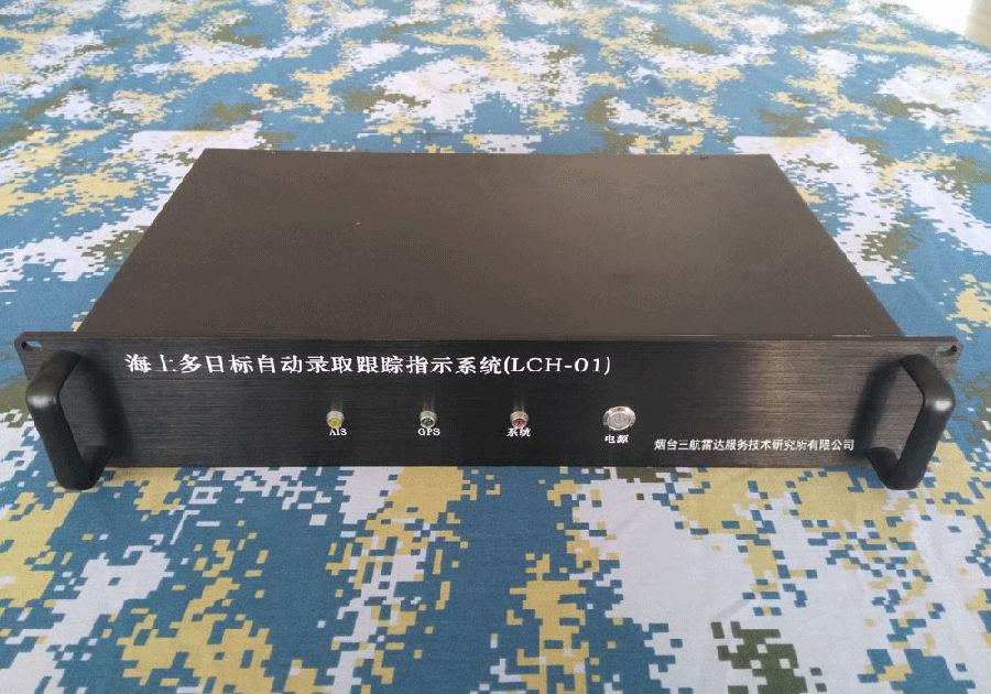
Fig. 1 Maritime Multi-Objective automatic admission tracking instruction system

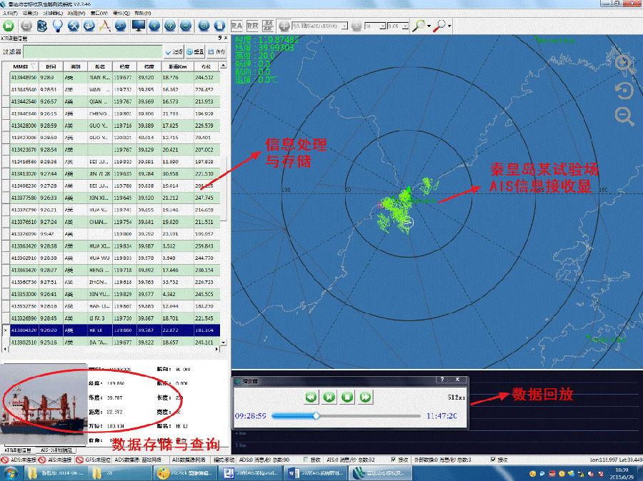
Figure 2 Maritime Multi-Objective automatic Admission Tracking Indicator System interface
Table 1 Composition of the maritime multi-Objective automatic admission tracking instruction system
| Serial number | Name | Unit | Number | Note |
| 1 | Device Host | Computer | 1 | 2U19 inch Standard chassis type |
| 2 | AIS receiving antenna | A | 1 | Gain: 3dB |
| 3 | GPS Mushroom Head Antenna | A | 1 | Industrial-grade Products |
| 4 | High Performance Feeder | Root | 1 | 15 m length |
| 5 | Data Logging System | Sets | 1 | Authorize 1 USB KEY uses |
2 Main Performance indicators
2.1 Device Host
(1) interface
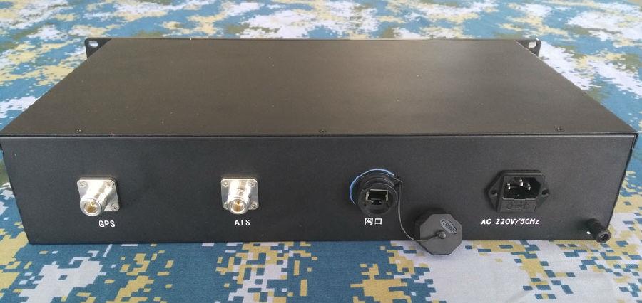
Power Interface: 220V AC, 50Hz Municipal
AIS Antenna Interface: N-type pubic head
GPS Antenna Interface: N-type pubic head
Communication interface: RJ45 Network port
Chassis: 2U Standard 19-inch chassis, black.
Panel: Power switch, Power LED, GPS status indicator, AIS signal indicator
(2) AIS signal reception Performance
Have AIS signal receiving and decoding function;
Have an AIS signal arrival time record.
Working channels: CH87/AIS1 (161.975MHz), CH88/AIS2 (162.025MHz);
Receiver Sensitivity: ≤-107dBm
Boot time: Less than 1 minutes.
2.2 AIS Antenna Index
(1) Frequency band range: 146 Mhz~162.5mhz;
(2) Impedance: 50Ω;
(3) Gain: 3dB;
(4) Standing wave ratio:<>
2.3 Environmental Requirements
(1) Operating temperature: -20℃~+60℃;
(2) Storage temperature: -50℃~+80℃;
3 System software Features
(1) Real-time display of posture
The AIS message sent by the receiving host is parsed in real time, the position of the ship is marked on the map, the distance, azimuth and pitch of the ship from the receiving center are calculated, and the information list is displayed next to the situation map.
Figure 3 Real-time display of posture
(2) record playback of data
Automatic recording of AIS data, with the function of data repetition record, for the post-processing analysis of data to provide the basis.
Figure 4 Data logging, playback, statistical functions
(3) Regional alarm
With regional alarm function, by adding fan, circle, polygon, path and other graphics in the situation map, and choose to monitor whether there is an AIS target into the corresponding area, when the target enters the monitoring area, the area will constantly blink to display the alarm.
Figure 5 Area Alarm Settings
(4) Message communication
Supports defined gateway-based communication protocols that can send data according to the user's needs in accordance with the prescribed protocol.
Figure 6 Network message Communication settings
(5) Ship comprehensive situation function system
With AIS information to identify the target properties, models, country and other information, the formation of a full range of elements in the ship comprehensive posture function.
